My family was due for a weekend in Manzanita. Coincidentally, Ann's husband, John, wanted to check on his land nearby. It was the perfect opportunity for a shorter run along the coast! Usually when I'm there I run a 10 mile out-and-back to Cape Falcon, but with an additional car we were able to do a much more satisfying point-to-point route.
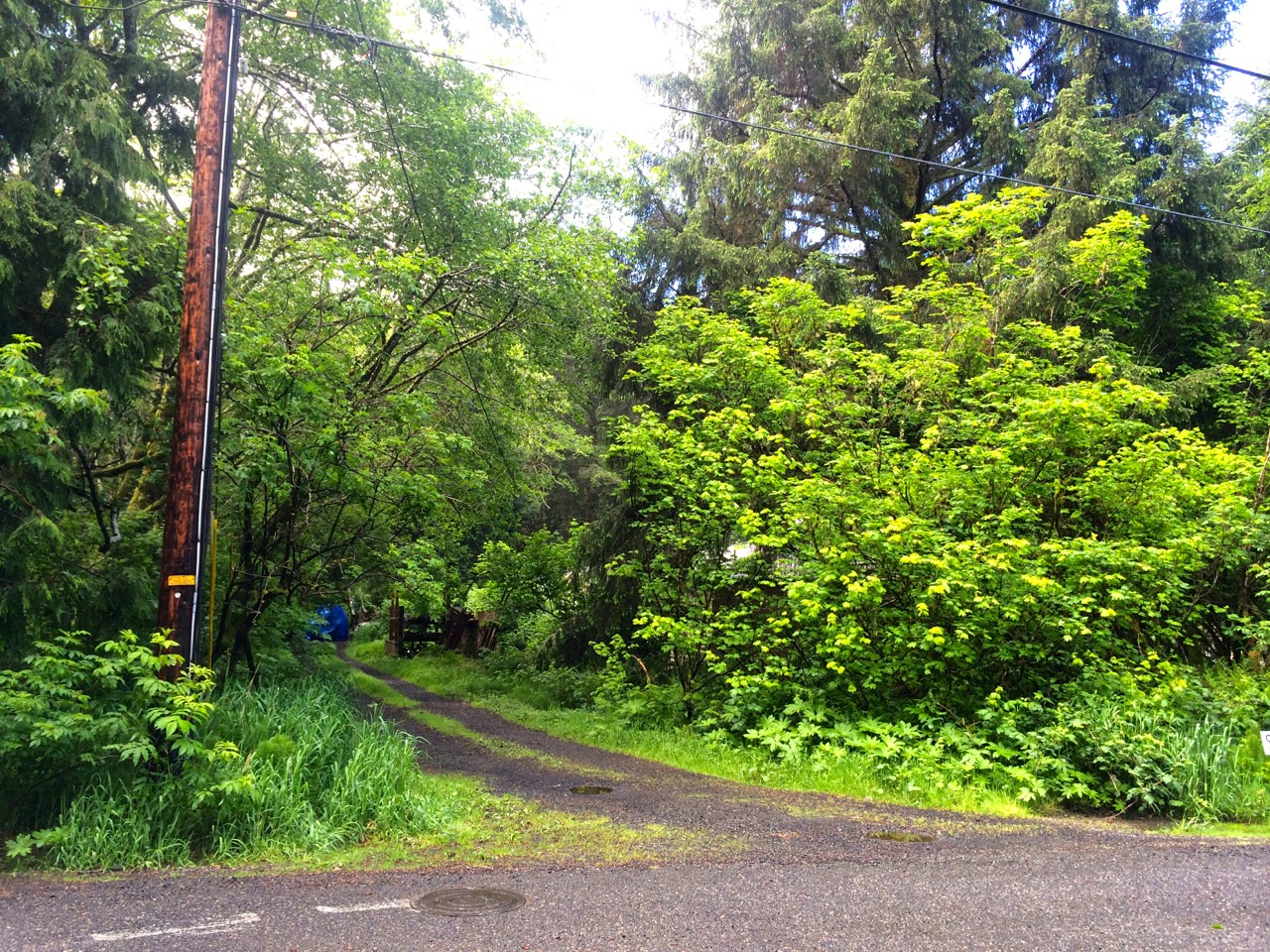 |
| Hidden trailhead off E Shingle Mill Ln |
 |
| Suspension bridge across Arch Cape Creek |
The
Oregon Coast Trail runs 382 miles along the entire state in a vast network of trails and beaches, and connects some of the shorter destination hikes I've done many times. While it sounds simple to just run a segment, you still have to piece together some parts, and it becomes complicated in popular parks like
Oswald West, where the many short trails can quickly leave you lost and wondering which is the official OCT (answer: unclear).
 |
| A rough-skinned newt sharing the trail |
 |
| Roof shingles add a charming and non-slip touch |
Arch Cape made a perfect start for us, because there the OCT must veer away from the beach and up a road before it suddenly starts again as a forested climb. Luckily John knew the trailhead, because I didn't even see the sign when we were next to it. Walking down what looked like a driveway, we came to a suspension bridge and began our run.
 |
| Ann and a huge tree fungus |
 |
| One of many white snails on wet trail |
Okay, maybe more of a fast hike. Right away it was uphill, twisting, damp and pristine. And miraculously, not only was it not raining-- the sky began to clear and the sun came out. We couldn't believe our luck.
 |
| View north to Arch Cape |
 |
| Arch Cape view selfie |
We came across footbridges that had been charmingly enhanced with meandering curves of roof shingles, making them safely non-slip. We saw snails, a newt, and tons of wildflowers (thanks to this fantastic
guide I was prepared), but rarely other people.
 |
| Red cliffs near Cape Falcon |
 |
| An unreachable black rock beach |
Down from Arch Cape, the trail dumped us onto Highway 101 for a short segment before folding us back into the lush forest on the coast side. Soon we climbed up again, and came to the part I know best-- the northernmost reach of my usual Cape Falcon out-and-back run. It only happens once a year-- maybe less-- so it was fun for me to be on a trail that I know better than Ann does. I made sure we stopped for the best views, and ran all the way out on the actual Cape to take in the crashing waves, colorful cliffs, and steeply forested hills rolling away as far as the eye can see.
 |
| Wild iris |
 |
| View from Cape Falcon, towards the south |
Once we got to Short Sands we had to pay attention to the map to take the right turns to get to Elk Flats Trail, which I had never done. That took us down to Devil's Cauldron, where we made a quick detour to look at the churning water before crossing 101 again and tackling
Neahkahnie Mountain.
 |
| Short Sands beach selfie |
 |
| Suspension bridge over Necarney Creek |
Neahkahnie is another out-and-back hike that is very familiar to me, but I'm not sure I've ever been there on such a perfect day. When we got to the top, Manzanita Beach and Nehalem Bay lay out before us like a postcard, framed in rainbow wildflowers bursting from the mountain's slope.
 |
| Bridge selfie |
 |
| Elk Flats Trail connects the Short Sands area with Devil's Cauldron |
We could hear people laughing and picnicking above us, on the peak. We had already been running for longer than we had estimated, so we skipped the summit and made quick work of the glorious, well-maintained trail down the south side of the mountain.
 |
| Devil's Cauldron |
 |
| Trailhead sign for Devil's Cauldron |
I wasn't ready when I saw the sign for the trailhead. It was an amazing run with spectacular scenery, wonderful company, and absolutely perfect weather. And like all great runs, it spawned a brilliant idea-- to run all of the Oregon Coast Trail, in segments. Hopefully there will be many blog posts to come on that.


Comments
Post a Comment