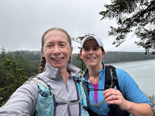
On Saturday, November 1, Ann's dad, Fred, turned 70 and we celebrated with a big party in Hood River. Many of us stayed the night or weekend in town, including Ann's stepsister Gretchen and stepbrother Noel-- both of whom traveled from Texas and both of whom are runners.
 |
| Bridge to rocks to bridge |
Noel is injured, but Gretchen, Fred, Ann and I all wanted to go for a run on Sunday morning (Made possible by my dad hanging out with my son. Thanks, Dad!). Ann looked for trails that weren't too hilly for our flat-land visitors, with enough miles to keep us all happy. After some waffling we settled on Post Canyon, even though there wasn't much information or detailed maps available.
 |
| Look how long this bike balance beam keeps going! |
It's primarily a park for mountain biking, but with so many well-kept, wandering, interconnected trails in a lovely forest setting, it made a great place for a timed run. We just drove up Post Canyon Dr until we found a good place to park, near one of the many trails that crisscross the road itself. We set out from the car and agreed to meet back in an hour and a half, so we could all run at our own pace.
 |
| See that skinny tree trunk that's rigged as some kind of balance beam? |
Ann and I stuck together and enjoyed seeing all of the obstacles, jumps, ramps, balance beams, and other features in the park. When it was time to head back, we ran in the general direction but tried to pick different trails. Then Ann looked at Google Maps and, shockingly, it was able to give us exact directions to run back along marked trails.
 |
| Climbing fungus-- this one's for Mary Jane |
Up til then we hadn't really noticed the trail markings, but the main trails do indeed have posts with the trail number/name, who's allowed to use them (bicycles, ATVs, pedestrians, horses), and the difficulty rating. Yes, we avoided the eight-foot drop-off that was rated very difficult.
 |
| That's a big drop, people! Runners, avoid. |
This was a great place to run right in Hood River. With lots of staging areas (ie, trailheads, some with bathrooms), nice trails, and friendly bikers, I know we'll be back to Post Canyon soon. Maybe we'll map out a route next time, but it's just as fun to set a time limit and see where the trail takes us.
 |
| What the heck is this and how do you ride a bike on it? |
 |
| Map at a trailhead |
 |
| Running crew selfie at the finish |


It wasn't flat, for us flatlanders, 906'. flat for u and Ann :)
ReplyDelete