 |
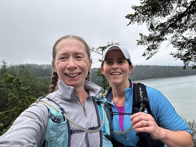
| At the top of Council Crest |
We had big plans for 25 miles, but sometimes you don't sleep well and need to change it up last minute. Instead of the route I picked out last week, Ann chose a 22 miler as a guideline.
 |
| Cedar at Pittock Mansion |
But when we got to Pittock Mansion, we decided to continue south on Wildwood for a bit... which turned into going to the end (technically the start). We even walked into the Vietnam Memorial, and, looking at the map, decided to check out the Marquam Trail that connects Washington Park across Highway 26 to the Marquam Nature Park.
 |
| Vietnam Memorial in Washington Park |
Neither of us had ever been on that section of trail before, and it was really neat to discover something new to us after more than 20 years of living here and more than 10 years of running long distances on these trails. We saw a sign that showed a little more than a mile to Council Crest-- the highest point in Portland-- so we decided to run to it.
 |
Marquam Trail sign
|
At the top, we had beautiful views and 10 miles logged, so we turned around and headed back. It was really fun and different to head out with no real plan, no place either of us needed to be at a specific time, and to try some new trails.
 |
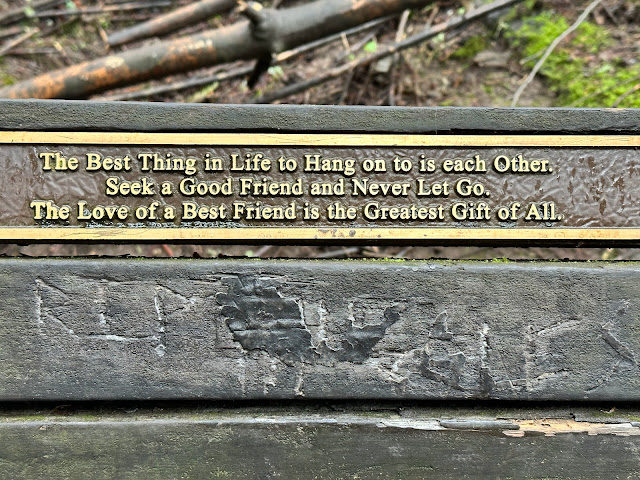
| Did someone put this plaque here for us to see today? |


Comments
Post a Comment