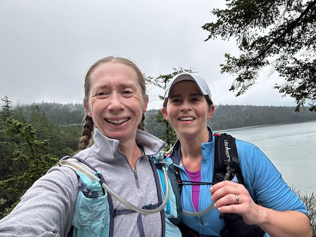
A run on the dry side of the Cascade Mountains
We spent the weekend in Sun River, near Bend, and scoped out the top trail for our weekend run.
After a little bit of online research and looking through the William Sullivan (best hiking book author for Oregon and the Pacific Northwest!) book for the region, we started at the Meadow Picnic area.
Ideally we would've run to Benham Falls for an 18-mile out-and-back, but time being tight as always, we planned to run an hour out and then turn around.
Despite the simple trail map, we got lost pretty quickly after the slough. We lost sight of the river, turned left at some shotgun shells in the sparse, dry pine woods, and when we crossed a road we realized we were lost.
When we finally made our way back to the trail we recognized, we saw the wooden stake with a stick-figure hiker; those, and signs that simply said "trail" were our clues.
I can't say the trail was well marked, but there were signs, and once we got going along the river we were pretty well set.
The trail was gorgeous single track, dry and red, with short, rambling ups and downs that really whipped our lungs what with being at around 4,500ft elevation.
The river changed from calm and glassy, high up to grassy banks, to raging rapids hedged in by rocky cliffs-- always beautiful to run alongside.
It was so much fun to run in such a different environment, and we have big dreams of running the whole trail.
 |
| Deschutes River Trail system map-- looks so simple |
After a little bit of online research and looking through the William Sullivan (best hiking book author for Oregon and the Pacific Northwest!) book for the region, we started at the Meadow Picnic area.
 |
| River at the trailhead |
Ideally we would've run to Benham Falls for an 18-mile out-and-back, but time being tight as always, we planned to run an hour out and then turn around.
 |
| Sign at the trailhead |
Despite the simple trail map, we got lost pretty quickly after the slough. We lost sight of the river, turned left at some shotgun shells in the sparse, dry pine woods, and when we crossed a road we realized we were lost.
 |
| Ann's getaway car |
When we finally made our way back to the trail we recognized, we saw the wooden stake with a stick-figure hiker; those, and signs that simply said "trail" were our clues.
 |
| Peaceful slough |
I can't say the trail was well marked, but there were signs, and once we got going along the river we were pretty well set.
 |
| Raging rapids |
The trail was gorgeous single track, dry and red, with short, rambling ups and downs that really whipped our lungs what with being at around 4,500ft elevation.
 |
| Flumes and snow in the distance |
The river changed from calm and glassy, high up to grassy banks, to raging rapids hedged in by rocky cliffs-- always beautiful to run alongside.
 |
| Steep log-ladder steps |
It was so much fun to run in such a different environment, and we have big dreams of running the whole trail.
 |
| Neverending steps |


Comments
Post a Comment