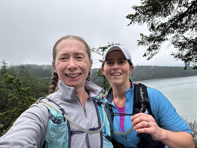
The last 2 years Susan and I have taken a day off of work each month during the summer, so we can sneak off and run the trails around Mt. Hood and the Columbia Gorge while they are not crowded.
We took Thursday off of work last week to kick off the 3rd year of this tradition. It wasn't the best planning on my part considering we ran 24 mile on Sunday and I ran a race Wednesday night, but it beats working and it is always fun to see how far you can push yourself.
We wanted to run 22-24 miles and I really wanted to run the Salmon River Trail. Susan and I have run it a few times, but only a short ~7 miles to the canyon view point and back. There is a 15.7 mile loop that starts on the Salmon River Trail, and goes past the canyon view point up to Devil's Peak Lookout and Hunchback Mountain then back down Green Canyon Way to the Salmon River Trailhead. Luckily the Salmon River Trail continues beyond where you would normally turn for the 15.7 mile loop, so we could make the route as long as 31 miles. We opted for a ~6 mile out and back to give us ~22 miles. Volcano Running has a good description and map of the route.
 |
| Open view above Salmon River |
 |
| Wildflowers on the steep, dry slope |
The weather was perfect, it started off in the 60s and ended in the 80s. We had enough experience running out of water that we brought more than our normal 2 liters of water, since there really isn't anywhere on Hunchback Mountain to get more water.
 |
| Sound camping advice |
 |
| Back from a lookout point |
 |
| Green stream crossings |
The Salmon River Trail trail climbs gradually, about 1100 feet over 6.1 to the junction with the Kinzel Lake Trail, which takes you up to Hunchback Mountain. You start level with the river, but get several great view points of the river and canyon along the way. Since it is still early season we had to deal with several stream crossing, but nothing major, we just had to watch out for slippery rocks.
We continued on past the Kinzel Lake Trail to do an out and back on Salmon River to the Linney Creek Trail junction. I had never gone past the Kinzel Lake Trail junction, so I wasn't sure how well maintained the Salmon River Trail was. Besides being a little over grown the trail was in great condition, with all sorts of things growing along side it.
 |
| Amanita muscaria nestled in moss |
 |
| A waning trillium bloom |
 |
| These tiny calypso orchids were everywhere |
 |
| Columbia windflower-- an anemone |
 |
| Turnaround at Linney Creek |
 |
| Ann crossing a wide, shallow stream with no rocks to hop across |
 |
| Another amanita |
The climb up to Devil's Peak is an unrelenting and unforgiving 3.6 miles, but once you get to the top you know it is all downhill from there. Around 4500 feet we hit snow, at first it was just a little snow patch. Then it was completely covering the trail at times, but nothing too deep. At one point we lost the trail, but only to realize the snow was covering the corner of the switch back and the trail was actually behind us not in front of us.
 |
| Mountain views |
 |
| Makeshift trail sign |
 |
| Lunch break at a trail junction, among cabin ruins |
 |
| First snow(ball)! |
 |
| Susan making snow angels |
 |
| Trudging through snow, Mt Hood behind |
 |
| Near the top |
We made it through the snow to Devil's Peak Lookout and were rewarded with some amazing views of Mt. Hood and Mt Adams. It was Susan's first time in a fire look out, so I made sure I signed the logbook to document it.
 |
| Mt Hood view from Devil's Lookout |
 |
| Ann signing the register in the fire lookout |
 |
| Just in case we forgot |
 |
| Panorama from the fire lookout |
 |
| Mt Adams from the fire lookout |
 |
| Devil's Lookout selfie |
 |
| New trillium at 5,000ft altitude |
After we left the lookout, we continued down Hunchback Mountain climbing over and under downed trees to the junction with Green Canyon Way and back to our car. I could not ask for a better way to spend a day off of work!
 |
| A dense forest of dead and down trees |
 |
| Just when we thought we wouldn't have to cross a washout or landslide |
 |
| map from the William Sullivan red hiking book |


Comments
Post a Comment